Atlas of Accountability
Objective
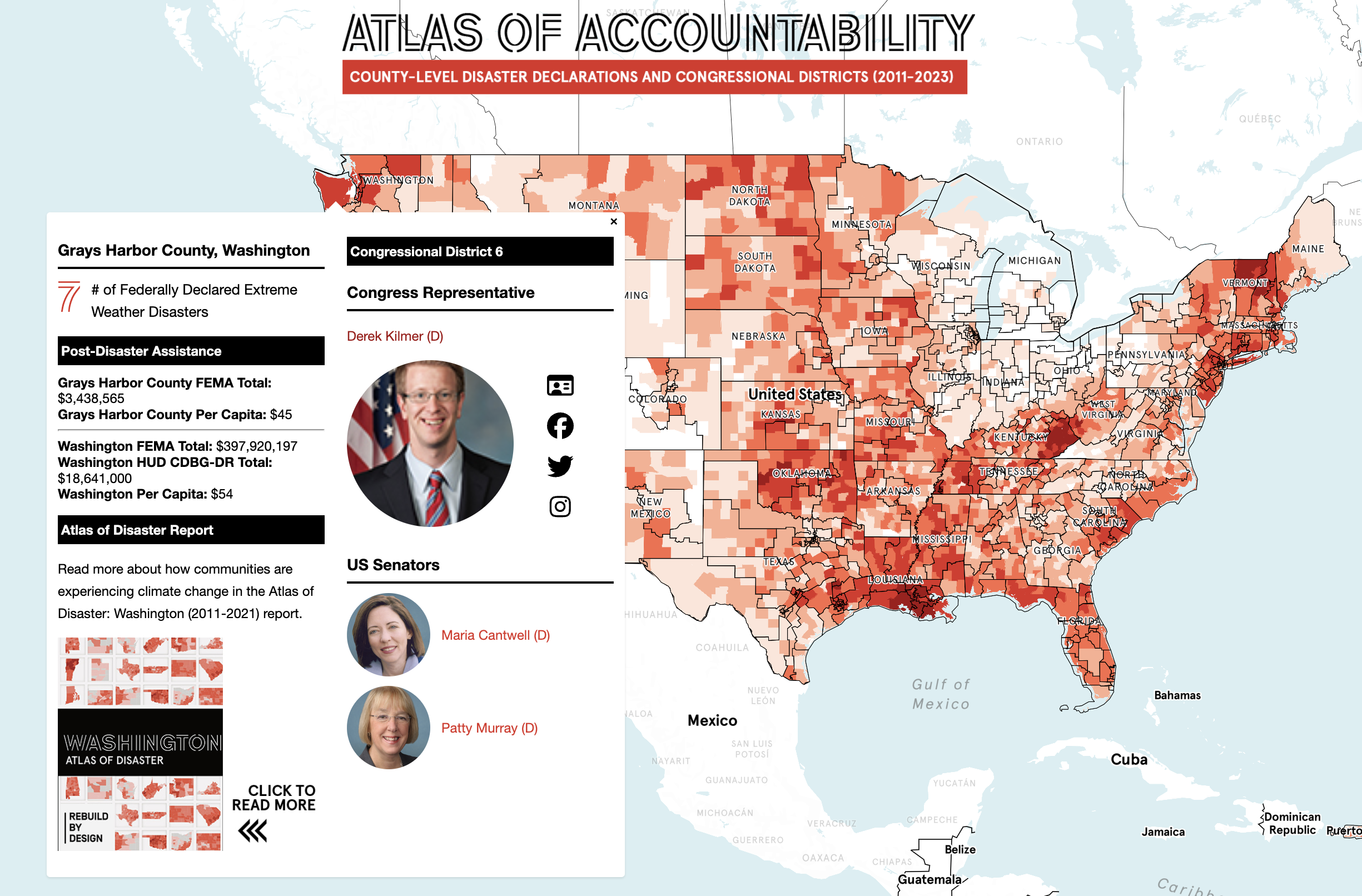
Transformed Rebuild by Design’s static, 600+ page Atlas of Disaster (Nov 2022) into an interactive map, making climate risk and disaster funding data actionable for policymakers and the public.
Tags
Challenge
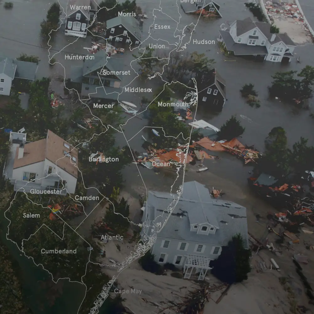
Critical climate and disaster funding data was trapped in a dense PDF, out of reach for most communities and decision-makers, especially as FEMA’s future and federal support come under scrutiny.
Solution
I pitched and led the creation of the Atlas of Accountability: a national-scale interactive map visualizing disaster declarations, $117.9B in federal recovery funds, and social vulnerability for every U.S. congressional district.
Workflow
- Data Acquisition & Review: Synthesized FEMA, HUD, SVI, and energy data from iParametrics
- Data Engineering: Cleaned, normalized, and geocoded data by FIPS; joined to districts in QGIS
- GeoJSON Optimization: Processed spatial files for fast, efficient Mapbox rendering
- Custom Map Development: Built the interactive map in Mapbox GL JS and Visual Studio Code
- UX/UI Iteration: Prototyped with users; refined based on feedback from policymakers and media
- Project Management: Led stakeholders and scheduled launch with major Associated Press coverage
Tools & Skills
Mapbox GL JS · QGIS · ArcGIS · GeoJSON · Python/R · Visual Studio Code · Data Wrangling · Project Management · UX/UI Design
Impact
- 99.5% of congressional districts have experienced at least one major disaster since 2011, cutting across political, urban-rural, and socioeconomic boundaries.
- Climate-driven events cost taxpayers $117.9 billion in federal relief, $72.7B from FEMA (Hazard Mitigation & Public Assistance) and $45.2B from HUD’s CDBG-DR program.
- Featured in 400+ media outlets:
- July 23, 2024 – Associated Press: Data shows hurricanes and earthquakes grab headlines but inland counties top disaster list
- July 23, 2024 – WKMS: Kentucky counties rank among most plagued by federally declared disasters since 2011
- Aug 23, 2024 – CT Insider: Extreme weather events are the new normal for CT